As an alternative to searching directly for solutions, you can also search for CM gaps and find out which solutions address the gaps you are interested in.
PDF export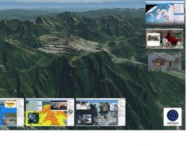
vieWTerra Evolution
vieWTerra Suite is a suite of products allowing responders to rapidly build a virtual 4D representation (3D synthetic environment+ Time dimension) of any potential Crisis area on Earth.
CrisisSuite
The main objective of CrisisSuite (online crisis management software) is to enable organisations to successfully manage information during a crisis.
Collaborative Mission Management Service - PLANET
In crisis situation, sharing real-time information is vital! Answering this challenge, ATMOSPHERE has developed a collaborative mission management service, PLANET, which enables to communicate on board and on ground in real-time anywhere in the world.
XVR Crisis Media
With XVR Crisis Media you can train how to manage and monitor communication from news media, social media and internal communication sources in a crisis situation.
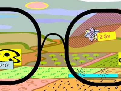
Mixed Reality Glasses
Using mixed-reality glasses to train, inform and warn the first responders
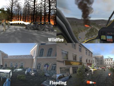
XVR On Scene
XVR On Scene provides 3D virtual reality simulation of an incident scene. Instructors can build any type of incident to educate, train or assess operational and tactical first responders and incident commanders, either individually or in teams.
Preparedness for Decision Making in Crisis
PROCeed is a computer system which prepares its users for proper decision-making in crisis situations.
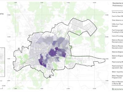
Debris Tool
The Debris Tool is a software based solution designed to amalgamate various defined inputs from the field, historic survey data and other sources, for the prediction and modelling of waste and debris removal options in a post-crisis environment.
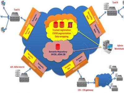
EPISECC CIS
Common Information Space as Enabler for Collaboration in Disaster Management
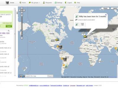
Geochat
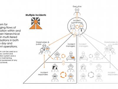
Lets team members interact to maintain shared geospatial awareness of who is doing what where — over any device, on any platform, over any network.
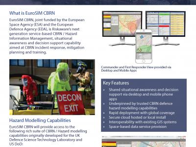
EuroSIM
EuroSIM is a European Space Agency (ESA) funded Information Management/Situational Awareness tool complete with intrinsic - & long used/refinement by 2 the leading NATO militaries - modelling and simulation algorithms with in-built service affordability
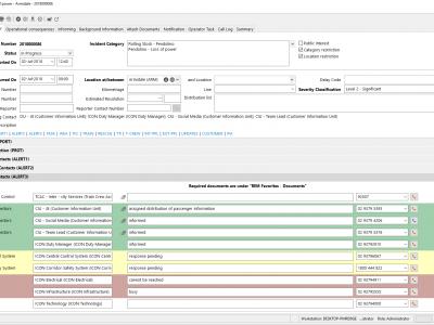
REM Railway incident management
The REM Railway incident management by Frequentis lets both on-site and off-site staff handle railway related incidents ranging from operational incidents and technical incidents to emergency and crisis situations.
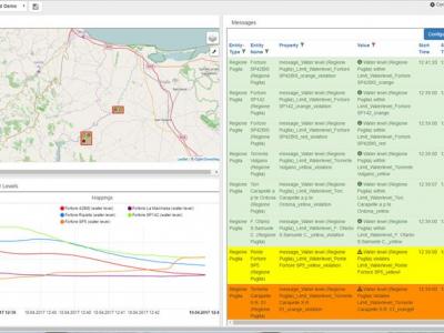
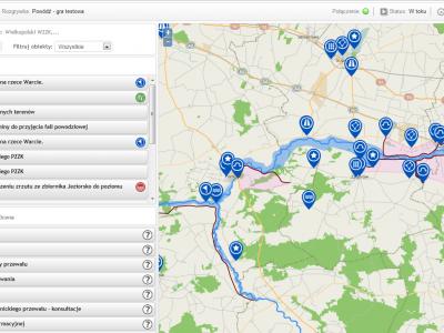
Emergency Mapping Tool (EMT)
Easy to use CM Solution for sharing and visualisation of the crisis management information. Faciliates comminication even in multilingual cross-organisational ad-hoc setups
zirkarta
Zirkarta gets the right information to the right people at the right time to enable geographically dispersed people to work together to achieve a common objective during a crisis.
SecuRescue
Local situation awareness in real time for security forces in disaster and crisis missions.
 |
Portfolio of Solutions web site has been initially developed in the scope of DRIVER+ project. Today, the service is managed by AIT Austrian Institute of Technology GmbH., for the benefit of the European Management. PoS is endorsed and supported by the Disaster Competence Network Austria (DCNA) as well as by the STAMINA and TeamAware H2020 projects. |