As an alternative to searching directly for solutions, you can also search for CM gaps and find out which solutions address the gaps you are interested in.
PDF export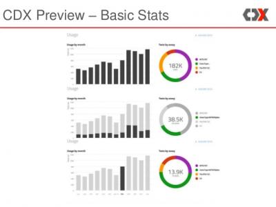
CDx
Allow healthcare data to be shared and monitored across diagnostic services and health facilities
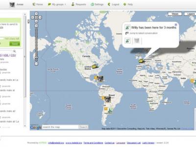
Geochat
Lets team members interact to maintain shared geospatial awareness of who is doing what where — over any device, on any platform, over any network.
Nuntium
Set of services and clients that allow anyone to build SMS-based applications with uses that range from simple modem-based needs to countrywide deployments integrated with wireless operators.
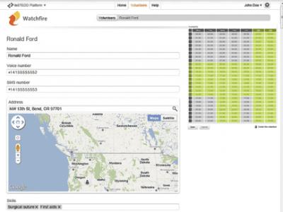
Watchfire
Initiate and track the process of building a volunteer response team with people who are geographically close to each other through phone calls and text message.
MoreIT - Responsible Innovation and Digital Ethics Support
Tools and services for responsible innovation and digital ethics.

Rapid Mapping
DroneRapidMapping enables rapid mapping of incident/crisis area. The solution enables very fast generation of orthophoto maps based on imagery acquired by any drone (RPAS) available to rescue or crisis management actors.
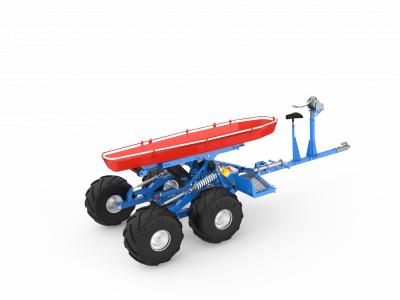
Nordic GTV (gyro terrain vehicle)
Nordic Gyro Terrain Vehicle is a small trailer designed for offroad use. It can be pulled by any mothorised off-road vehicle (ATV), including snowmobiles.
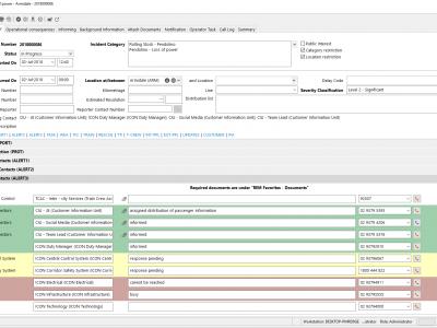
REM Railway incident management
The REM Railway incident management by Frequentis lets both on-site and off-site staff handle railway related incidents ranging from operational incidents and technical incidents to emergency and crisis situations.
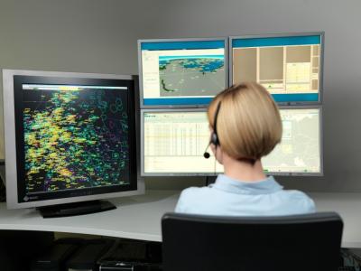
DIVOS - Advanced mission-critical recording
The DIVOS recording system provides thorough documentation of all events and activities during all crisis cycle phases. It collects and archives voice communication, surveillance information, as well as all operator activities.
CITY MANAGEMENT PORTAL
The city management portal is specially designed for routine management of city operations as well as large-scale events and crisis situations.
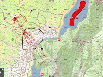
Emergency Mapping Tool (EMT)
Easy to use CM Solution for sharing and visualisation of the crisis management information. Faciliates comminication even in multilingual cross-organisational ad-hoc setups
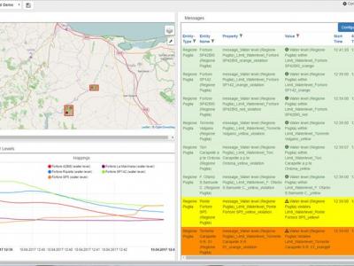
CrisisHub
CrisisHub is a web-based crisis and capacity/resource management tool designed to assist (teams of) strategic advisors before and during a crisis
Global Epidemic and Mobility simulator (GLEAM)
The Global Epidemic and Mobility simulator (GLEAM) is a realistic simulator of infectious disease spreading and pandemic outbreaks, based on a stochastic metapopulation model that uses real-world data about census and mobility.
SecuRescue
Local situation awareness in real time for security forces in disaster and crisis missions.
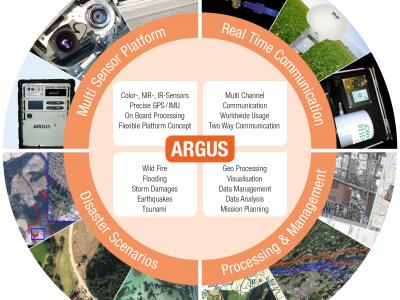
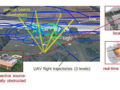
ARGUS
Airborne Support for an Optimized Operational Command in Crisis Management
 |
Portfolio of Solutions web site has been initially developed in the scope of DRIVER+ project. Today, the service is managed by AIT Austrian Institute of Technology GmbH., for the benefit of the European Management. PoS is endorsed and supported by the Disaster Competence Network Austria (DCNA) as well as by the STAMINA and TeamAware H2020 projects. |