As an alternative to searching directly for solutions, you can also search for CM gaps and find out which solutions address the gaps you are interested in.
PDF export
European Mobile Laboratory Inventory Database
European Mobile Laboratory Inventory Database
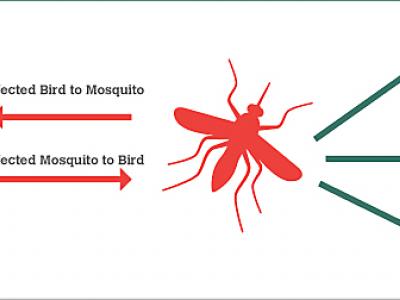
BIMS_WN West Nile epidemics model.
The BIMS_WN model is a muti-agent model whose goal is to predict the occurrence of a WN epidemic using climate and bird migration and movement data.
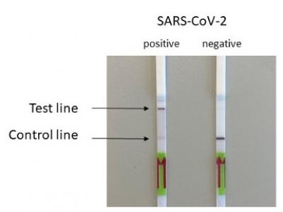
SARS-Cov-2 and Escherichia coli (E. coli) ESBL detection with SHERLOCK/DETECTR
Rapid detection of SARS-Cov-2 and E. coli (ESBL) via the utilisation of a portable SHERLOCK/DETECTR approach.
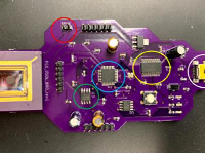
Influenza A (H1N1) on-site detection (POCT)
On-site detection of Influenza A (H1N1) with a portable qPCR device (POC)

Real-time detection of Measles, West Nile Virus and SARS-Cov-2
Genetic markers allowing real time point-of-service detection of Measles, West Nile Virus and SARS-Cov-2 via the utilization of a portable qcLAMP device
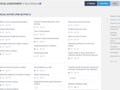
E-PHR
The aim of the electronic Personal Health Record (e-PHR) and its platform is to enhance knowledge amongst stakeholders about refugees’ and migrants’ health needs
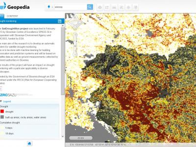
Drought Monitoring Portal
Automatic system for satellite drought monitoring

Satellite imagery archive within GIS in the Cloud
Access to processed and analysis-ready Sentinel (Earth Observation) imagery
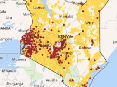
Planwise
Identify where help is needed most - transparent, data-driven analysis for decision makers
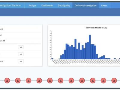
Harmony
Readily deployable virtual workspace where critical data can be used for immediate, lifesaving decisions in the COVID-19 response.

Rapid Mapping
DroneRapidMapping enables rapid mapping of incident/crisis area. The solution enables very fast generation of orthophoto maps based on imagery acquired by any drone (RPAS) available to rescue or crisis management actors.
 |
Portfolio of Solutions web site has been initially developed in the scope of DRIVER+ project. Today, the service is managed by AIT Austrian Institute of Technology GmbH., for the benefit of the European Management. PoS is endorsed and supported by the Disaster Competence Network Austria (DCNA) as well as by the STAMINA and TeamAware H2020 projects. |