Contact
Provider(s):
You must log in in order to see contact information. If you don't have an account, you can ask for one on this form.
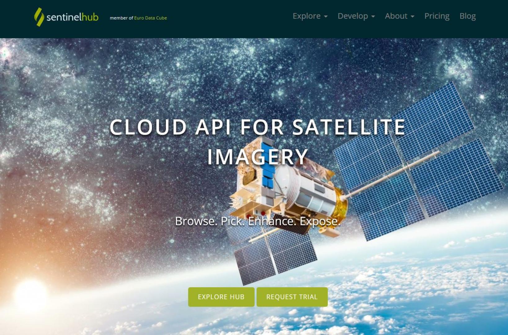
Access to processed and analysis-ready Sentinel (Earth Observation) imagery
Earth data provided by the Sentinel satellites are revolutionizing the market of space applications. Sentinel-2A is producing thousands of high resolution scenes every day for almost a year now. These data are now openly accessible and Sentinel Hub service can provide you with high resolution imagery almost instantly after they are made available.
The Sentinel-2A 290km wide swath allows any part of earth surface to be revisited frequently. Mission provides a global coverage of the Earth's surface every 10 days, producing data of great use for several sectors.
Supported Use Cases
Monitoring based on continious satellite imagery

Illustrations
 |
Portfolio of Solutions web site has been initially developed in the scope of DRIVER+ project. Today, the service is managed by AIT Austrian Institute of Technology GmbH., for the benefit of the European Management. PoS is endorsed and supported by the Disaster Competence Network Austria (DCNA) as well as by the STAMINA and TeamAware H2020 projects. |