As an alternative to searching directly for solutions, you can also search for CM gaps and find out which solutions address the gaps you are interested in.
PDF export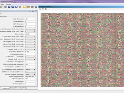
Physical Activity Lifelong Modelling & Simulation (PALMS) model
The Physical Activity Lifelong Modelling & Simulation (PALMS) model is an agent-based micro-simulation that predicts the lifelong physical activity behaviour of individuals of a population and its effect on their quality of life.

Flee - Predictive Modelling Tool
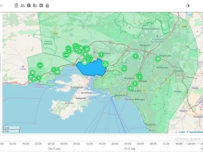
Flee is an agent-based modelling code used to model (forced) migration and other movements across country borders.
PROCeed Laboratory
PROCeed Laboratory supports decision makers in choosing the best solutions by simulating the consequences of decisions and events that are based on predefined cause-effect rules.
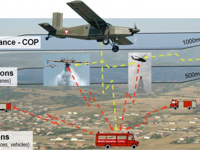
ARGUS Fire
Forest Fire/Wildfire management solution based on aerial multi-sensorsystem, data processing and resources management
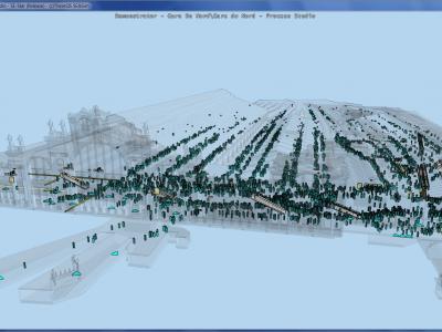
SE-Star : THALES Crowd Simulation
Since 2008, inside Data Science & Artificial Intelligence Labs of THALES, a Crowd Simulation engine, called SE-Star, has been designed. It is a life simulator managing: internal variables, motivations & emotions, stimuli, personality and behaviors.
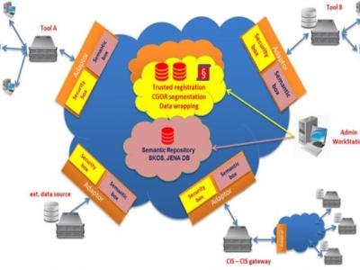
EPISECC CIS
Common Information Space as Enabler for Collaboration in Disaster Management

Real-time detection of Measles, West Nile Virus and SARS-Cov-2
Genetic markers allowing real time point-of-service detection of Measles, West Nile Virus and SARS-Cov-2 via the utilization of a portable qcLAMP device
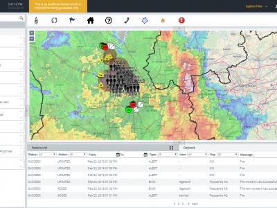
LifeX COP
LifeX COP is a web-centric multi-user Solution developed by Frequentis to address the lack of a Common Operational Picture in the field of Crisis Management.
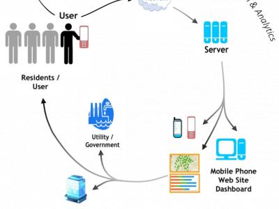
Crowdsourcing for Water Monitoring
Methodology for crowdsourcing water quality data
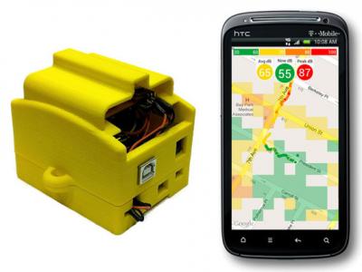
Air Sensor Toolbox
Air sensor monitors that are lower in cost, portable and generally easier to operate.

A4EU DSS
A4EU Decision Support System (DSS) for PPDR (Public Protection and Disaster Relief) organisations
SIM-CI
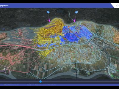
SIM-CI provides an overview of the critical infrastructures (electricity, gas, water, telecom, internet, road, traffic networks) that will be affected by disruptive events such as floodings or a cyber-attacks.
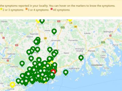
Covid-19 Symptom Tracker
This solution allows every one in the public to report their symptom anonymously on a map in realtime.
Mental Health and Psychosocial Support (MHPSS)
OPSIC designed and developed a comprehensive operational guidance system (COMPASS) that provided an integrated single platform for practical MHPSS guidance in crisis management.
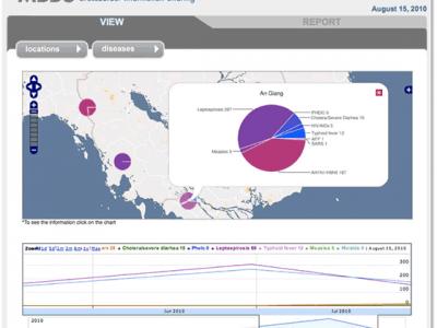
Veegilo
Veegilo allows you to report and visualize information about disease instances and deaths from multiple sources and compare the information over specific time periods and locations.
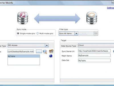
Mesh4X
Mesh4X is a set of libraries, services and applications that allow data to be synchronized across multiple applications, databases and files.
Nuntium
Set of services and clients that allow anyone to build SMS-based applications with uses that range from simple modem-based needs to countrywide deployments integrated with wireless operators.
MoreIT - Responsible Innovation and Digital Ethics Support
Tools and services for responsible innovation and digital ethics.
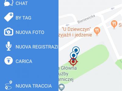
FRT - Field Reporting Tool
The Field Reporting Tool is a platform to collect and promptly share multimedia georeferenced information.

Rapid Mapping
DroneRapidMapping enables rapid mapping of incident/crisis area. The solution enables very fast generation of orthophoto maps based on imagery acquired by any drone (RPAS) available to rescue or crisis management actors.
 |
Portfolio of Solutions web site has been initially developed in the scope of DRIVER+ project. Today, the service is managed by AIT Austrian Institute of Technology GmbH., for the benefit of the European Management. PoS is endorsed and supported by the Disaster Competence Network Austria (DCNA) as well as by the STAMINA and TeamAware H2020 projects. |