As an alternative to searching directly for solutions, you can also search for CM gaps and find out which solutions address the gaps you are interested in.
PDF export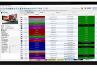
ENGAGE IMS/CAD integrated Call-Center solution
ENGAGE IMS/CAD suite is an integrated Incident & Crisis Coordination solution for public & private safety organizations
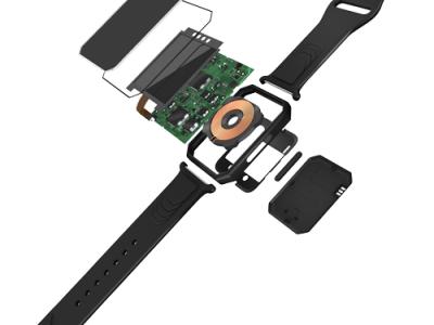
SmarKo Wearable Monitoring Tool
SmarKo, a smart wearble sensor device, that enables remote real time monitoring of health, environmental and physical activity data as well as geolocation and can transmit the measurement data to a mobile app.
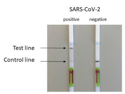
SARS-Cov-2 and Escherichia coli (E. coli) ESBL detection with SHERLOCK/DETECTR
Rapid detection of SARS-Cov-2 and E. coli (ESBL) via the utilisation of a portable SHERLOCK/DETECTR approach.
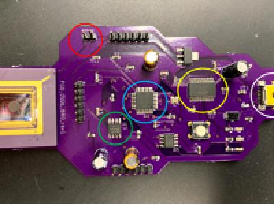
Influenza A (H1N1) on-site detection (POCT)
On-site detection of Influenza A (H1N1) with a portable qPCR device (POC)

Real-time detection of Measles, West Nile Virus and SARS-Cov-2
Genetic markers allowing real time point-of-service detection of Measles, West Nile Virus and SARS-Cov-2 via the utilization of a portable qcLAMP device
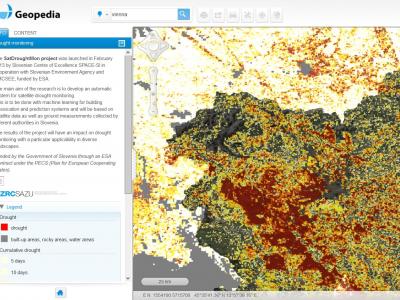
Drought Monitoring Portal
Automatic system for satellite drought monitoring

Satellite imagery archive within GIS in the Cloud
Access to processed and analysis-ready Sentinel (Earth Observation) imagery

eCEBS
eCEBS enables community level lookouts to report unusual health events in human/animal populations. Built on DHIS2 Tracker module it relies on coded SMS to report and confirm events.
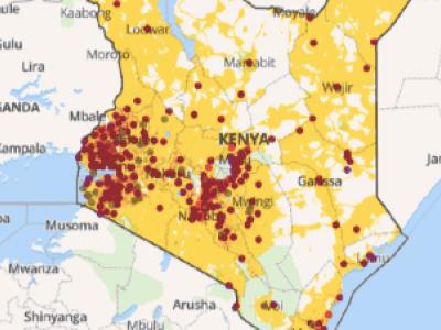
Planwise
Identify where help is needed most - transparent, data-driven analysis for decision makers
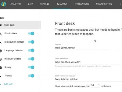
AIDA Chatbot Builder
Create interactive chatbots that can engage populations on popular chat apps like Facebook messenger.
Pollit
Free, open-source tool for conducting polls using text messages.
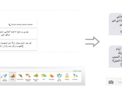
Nuntium
Set of services and clients that allow anyone to build SMS-based applications with uses that range from simple modem-based needs to countrywide deployments integrated with wireless operators.
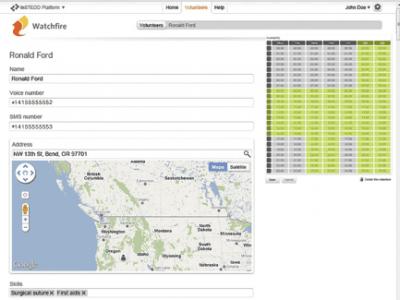
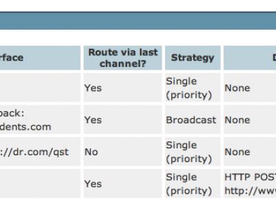
Watchfire
Initiate and track the process of building a volunteer response team with people who are geographically close to each other through phone calls and text message.

Rapid Mapping
DroneRapidMapping enables rapid mapping of incident/crisis area. The solution enables very fast generation of orthophoto maps based on imagery acquired by any drone (RPAS) available to rescue or crisis management actors.
 |
Portfolio of Solutions web site has been initially developed in the scope of DRIVER+ project. Today, the service is managed by AIT Austrian Institute of Technology GmbH., for the benefit of the European Management. PoS is endorsed and supported by the Disaster Competence Network Austria (DCNA) as well as by the STAMINA and TeamAware H2020 projects. |