
Company
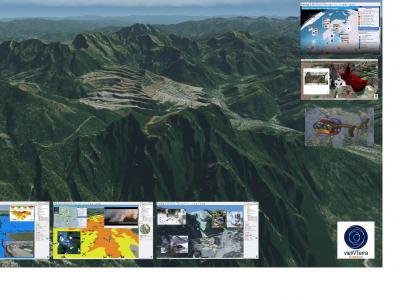
VWORLD is a software development company specialized in real-time 3D terrain visualization, which has bridged the
between the Geospatial and Simulation worlds in providing a unique suite of 3D/4D Earth Viewers, data & assets integration and development platform software, available off-line or on-line on PC, tablets and smartphones, as well as a global set of true colour, cloud-free and artifacts-corrected 15m Imagery, 90m DEM, 29m Land Cover satellite mosaics. It commercializes its own vieWTerra Suite line of software and database products and co-produces products developed under vieWTerra or VWorldTerrain licence, and also sells associated software development services (Windows/Linux, tablets & smartphones) and custom database treatment.
VWORLD was formed on the basis of years of research on how to render large outdoor scenes (3D synthetic terrain) and has built itself around the licensing of the VWorldTerrain© proprietary procedural terrain rendering technology. Today its products are used for simulation,
, situational awareness, navigation aid, command and control,
& management, landscape planning or land use monitoring, data publishing, project management and assets presentations or educational needs, and it counts corporate and academia clients in the Defence & Civil Security, Aeronautics & Space, Town & Country Planning, Energy, Geosciences & Education fields.
 |
Portfolio of Solutions web site has been initially developed in the scope of DRIVER+ project. Today, the service is managed by AIT Austrian Institute of Technology GmbH., for the benefit of the European Management. PoS is endorsed and supported by the Disaster Competence Network Austria (DCNA) as well as by the STAMINA and TeamAware H2020 projects. |