As an alternative to searching directly for solutions, you can also search for CM gaps and find out which solutions address the gaps you are interested in.
PDF export
STORM
STORM Dashboard provides collaborative and operative services to better act in the prevention and intervention phases of a disaster
UAV-ASIGN
UAV-ASIGN is a software solution that helps reduce emergency and disaster response time by collecting and sending UAV photos and videos while in-flight even through low or constrained bandwidths.

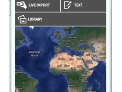
Satellite imagery archive within GIS in the Cloud
Access to processed and analysis-ready Sentinel (Earth Observation) imagery
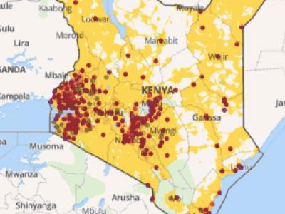
Planwise
Identify where help is needed most - transparent, data-driven analysis for decision makers

MoreIT - Responsible Innovation and Digital Ethics Support
Tools and services for responsible innovation and digital ethics.
 |
Portfolio of Solutions web site has been initially developed in the scope of DRIVER+ project. Today, the service is managed by AIT Austrian Institute of Technology GmbH., for the benefit of the European Management. PoS is endorsed and supported by the Disaster Competence Network Austria (DCNA) as well as by the STAMINA and TeamAware H2020 projects. |