Contact
Provider(s):
The Copernicus Management Service (Copernicus EMS) provides all actors involved in the management of natural disasters, man-made situations, and humanitarian crises with timely and accurate geo-spatial information derived from satellite remote sensing and completed by available in situ or open data sources.
The Copernicus EMS consists of two components:
- a mapping component;
- an early warning component.
The mapping component of the service (Copernicus EMS - Mapping) has a worldwide coverage and provides the above-mentioned actors (mainly Civil Protection Authorities and Humanitarian Aid Agencies) with maps based on satellite imagery. The service has been fully operational since 1st April 2012 and it is implemented by the European Commission DG Joint Research Centre (JRC).
The products generated by the service can be used as supplied (e.g. as digital or printed map outputs). They may also be combined with other data sources (e.g. as digital feature sets in a geographic information system) to support geospatial analysis and decision making processes of emergency managers.
Copernicus EMS - Mapping can support all phases of the cycle: , , , emergency and .
The early warning component of the Copernicus EMS consists of three different systems:
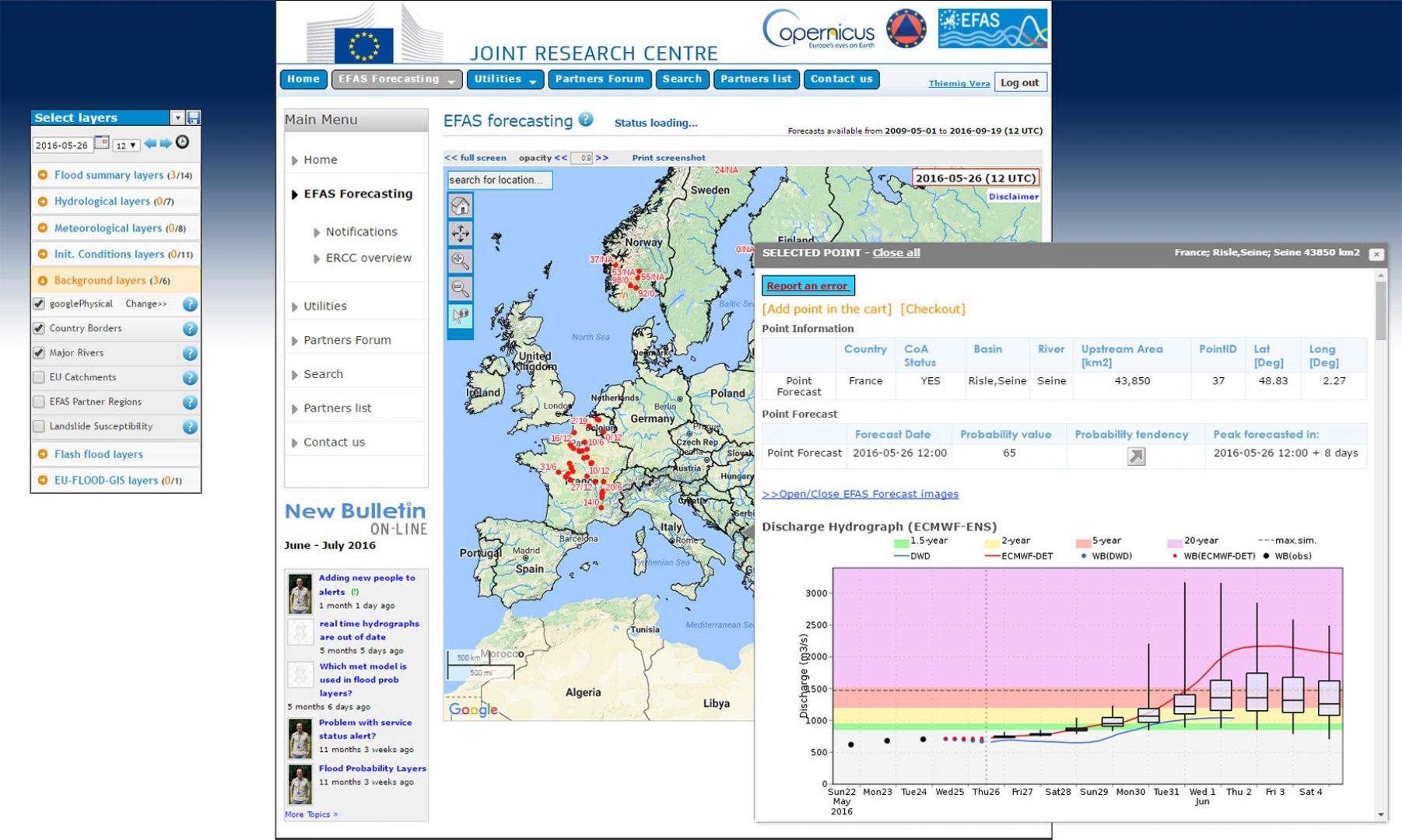
- The European Flood Awareness System (EFAS), which provides overviews on ongoing and forecasted floods in Europe up to 10 days in advance.
- The European Forest Fire Information System (EFFIS), which provides near real-time and historical information on forest fires and forest fire regimes in the European, Middle Eastern and North African regions.
- The European Drought Observatory (EDO), which provides drought-relevant information and early-warnings for Europe.
Global Flood Awareness System (GloFAS), Global Wildfire Information System (GWIS) and Global Drought Observatory (GDO) complete the previous three above systems at global level.
The service is provided free of charge to all users either in rush mode, for activities which require immediate (read more) and or non-rush mode, to support emergency disaster management activities not related to immediate responseanalysing pre-disaster and population and asset vulnerability or post-disaster and reconstruction (read more). It can be activated only by designated authorised users.
More information on the service is available on the Copernicus EMS – Mapping Portal. The public portal of the Copernicus Emergency Management Service allows to download all the maps and products delivered by this service.
A User Guide for the EMS Service has been produced and is available here.
Supported Use Cases
Mapping
Flood Awareness System
European Forest Fire Information System
 |
Portfolio of Solutions web site has been initially developed in the scope of DRIVER+ project. Today, the service is managed by AIT Austrian Institute of Technology GmbH., for the benefit of the European Management. PoS is endorsed and supported by the Disaster Competence Network Austria (DCNA) as well as by the STAMINA and TeamAware H2020 projects. |