As an alternative to searching directly for solutions, you can also search for CM gaps and find out which solutions address the gaps you are interested in.
PDF export
GetWell Loop
Engage all patients across their care journey through automated virtual check-ins.
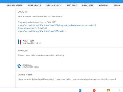
Wellvis Health Platform
Ask any health questions and get personalized answers for free from licensed doctors
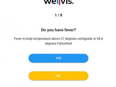
Wellvis COVID-19
Use this tool to find out your risk level to COVID-19 whether it is low, high, or medium.
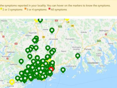
Covid-19 Symptom Tracker
This solution allows every one in the public to report their symptom anonymously on a map in realtime.
Alics
Real time data on the locaiton, quantity and availability of resources like beds, ventilators, masks and other equiptment.
MediScout
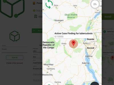
Enable collaborative interventions to be planned, implemented and monitored.
DataToCare
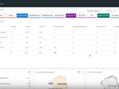
DataToCare connects your remote laboratories, provides you with relevant insights through graphics and reports, and manages your inventory and quality maintenance
eCEBS
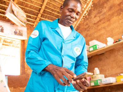
eCEBS enables community level lookouts to report unusual health events in human/animal populations. Built on DHIS2 Tracker module it relies on coded SMS to report and confirm events.
Re-Health
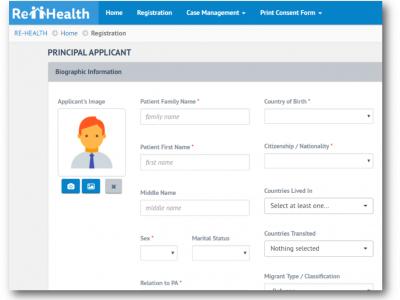
The aim of the IOM e-PH is to ensure that migrant health assessment records are available and to strengthen national and cross-border disease surveillance and response capacities.
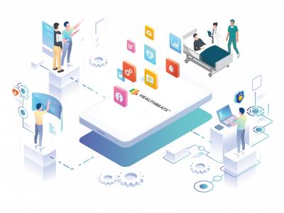
HealthBeats
HealthBeats is a global Remote Vitals Monitoring platform designed to bring healthcare to home. Users take their vitals measurement with results transmitted real-time to care providers.
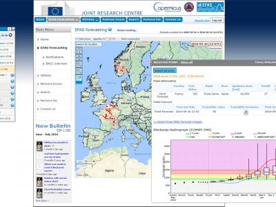
Copernicus Emergency Management Service
The Copernicus Emergency Management Service (Copernicus EMS) provides all actors involved in the management of natural disasters, man-made emergency situations, and humanitarian crises with timely and accurate geo-spatial information derived from satellit
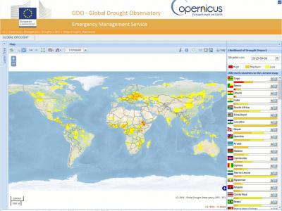
Copernicus Drought Observatory
The EMS Drought Observatory (DO) provides drought-relevant information and early-warnings for Europe (EDO) and the globe (GDO). Short analytical reports (Drought News) are published in case of imminent droughts.
Mental Health and Psychosocial Support (MHPSS)
OPSIC designed and developed a comprehensive operational guidance system (COMPASS) that provided an integrated single platform for practical MHPSS guidance in crisis management.
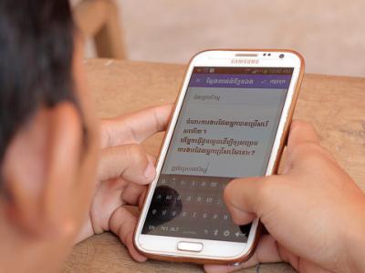
Health Check
Health Check allows travelers to report on their symptoms through automated calls with an Interactive Voice Response (IVR) system. Health agencies can then periodically and automatically monitor the symptoms and wellbeing of at-risk individuals.
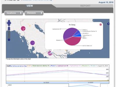
Veegilo
Veegilo allows you to report and visualize information about disease instances and deaths from multiple sources and compare the information over specific time periods and locations.
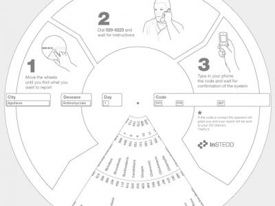
Reporting Wheel
Encode disease reports to send over mobile phones
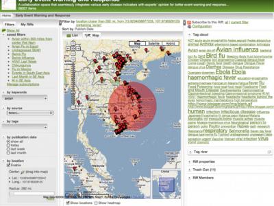
Riff
Collaboratively visualize and analyze streams of data
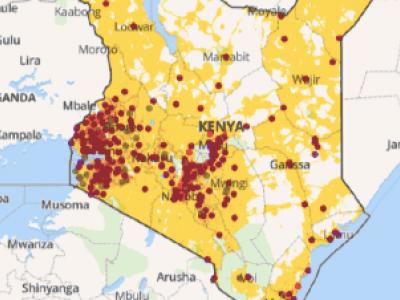
Planwise
Identify where help is needed most - transparent, data-driven analysis for decision makers
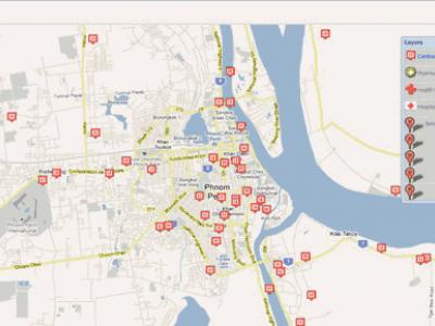
Resource Map
Resource Map helps people track their work, resources and results geographically in a collaborative environment accessible from anywhere. Set up a facility registry in minutes.
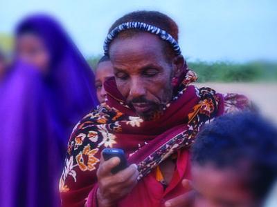
Verboice
Communicate with and receive messages from beneficiaries by building custom interactive voice response systems (IVR) and hotlines.
 |
Portfolio of Solutions web site has been initially developed in the scope of DRIVER+ project. Today, the service is managed by AIT Austrian Institute of Technology GmbH., for the benefit of the European Management. PoS is endorsed and supported by the Disaster Competence Network Austria (DCNA) as well as by the STAMINA and TeamAware H2020 projects. |