Contact
Provider(s):
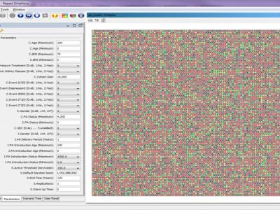
FACS is an agent-based modelling code that models the spread of flu and coronaviruses in local regions. Up to now, we have used it to model the spread of Covid-19 in a range of London boroughs.
The code can be repurposed to model other regions, and its current (sequential) implementation should be able to run up to 500,000 households within a reasonable time frame. It also supports vaccination programmes, track and trace and mutated versions of the virus.
What sets FACS apart from many other codes is that we have a partially automated location extraction approach from OpenStreetMaps data (the scripts reside at https://www.github.com/djgroen/covid19-preprocess), that we resolve a wide range of different location types (e.g., supermarkets, offices, parks, schools, leisure locations and hospitals) and that we have a specific algorithm for modeling infections within these locations, taking into account the physical size of each location.
We are currently finalizing a first journal paper about FACS, and will link to it from this page once it has become available.
Supported Use Cases
Agent based modelling tool to simulate spread of pathogens

Documentation
Similar Solutions

 |
Serwis internetowy Portfolio of Solutions został początkowo opracowany w ramach projektu DRIVER+. Obecnie serwis jest zarządzany przez AIT Austrian Institute of Technology GmbH, na rzecz Europejskiego Zarządzania Kryzysowego. PoS jest popierany i wspierany przez Disaster Competence Network Austria (DCNA), jak również przez projekty STAMINA i TeamAware H2020. |