As an alternative to searching directly for solutions, you can also search for CM gaps and find out which solutions address the gaps you are interested in.
PDF export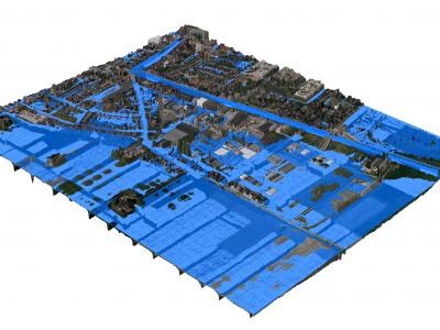
3Di - Water Management
3Di is a cloud-based versatile water management instrument that enables flood forecasting and risk mapping.
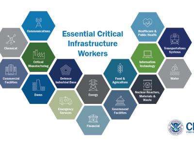
US Guidance on the Essential Critical Infrastructure Workforce during COVID-19
Guidance for identifying the critical infrastructure sectors and the essential workers needed to maintain the critical services and functions during the COVID-19 pandemic response

Google Forms
Google Forms is a survey administration software included as part of the free, web-based Google Docs Editors suite offered by Google. The service also includes Google Docs, Google Sheets, Google Slides, Google Drawings, Google Sites, and Google Keep. Google Forms is only available as a web application. The app allows users to create and edit surveys online while collaborating with other users in real-time. The collected information can be automatically entered into a spreadsheet.

SurveyMonkey
SurveyMonkey is an online survey development cloud-based software as a service company providing an online survey tool for organizations. It offers data analysis, sample selection, bias elimination, and data representation tools.
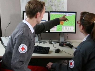
CAE GESI
CAE GESI provides an environment for emergency managers and their staff to plan, test, and train their response strategies in a safe and controlled environment.
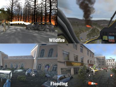
XVR On Scene
XVR On Scene provides 3D virtual reality simulation of an incident scene. Instructors can build any type of incident to educate, train or assess operational and tactical first responders and incident commanders, either individually or in teams.

mHero
a two-way, mobile phone-based communication system that uses basic text messaging, or SMS, to connect ministries of health and health workers. mHero operates on simple talk-and-text mobile devices—no smartphone or tablet required.
MDA command and Control system
MDA C4I system allows for efficient, real time response to tasks on the field (e.g. people in need for medical assistance), by allocating the site, allocating the resources needed and available, tasking the resources and following up the acomplishment.
GINA
GINA System is a map software technology for computers, tablets and smartphones
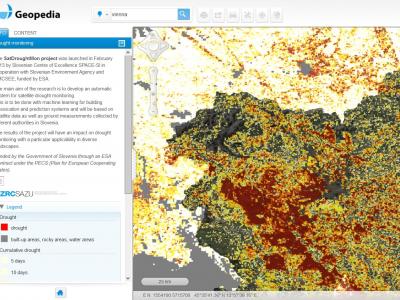
Drought Monitoring Portal
Automatic system for satellite drought monitoring

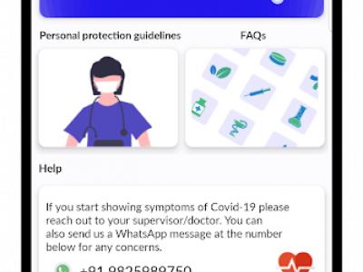
COVID-19 Information and Symptom Checker chatbot
If people know the facts and check their symptoms, they can be guided on when it’s necessary to isolate themselves, visit health facilities, or continue to follow recommended practices to slow the spread of the disease.
InteleSafe
An app and website for health workers to learn how to stay safe while on the job.
CovidMonitoring
For employers and healthcare organizations to monitor employees, patients, and other individuals

GetWell Loop
Engage all patients across their care journey through automated virtual check-ins.
MediScout
Enable collaborative interventions to be planned, implemented and monitored.
DataToCare
DataToCare connects your remote laboratories, provides you with relevant insights through graphics and reports, and manages your inventory and quality maintenance

eCEBS
eCEBS enables community level lookouts to report unusual health events in human/animal populations. Built on DHIS2 Tracker module it relies on coded SMS to report and confirm events.
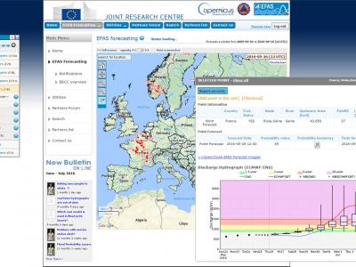
Copernicus Emergency Management Service
The Copernicus Emergency Management Service (Copernicus EMS) provides all actors involved in the management of natural disasters, man-made emergency situations, and humanitarian crises with timely and accurate geo-spatial information derived from satellit
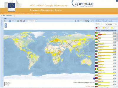
Copernicus Drought Observatory
The EMS Drought Observatory (DO) provides drought-relevant information and early-warnings for Europe (EDO) and the globe (GDO). Short analytical reports (Drought News) are published in case of imminent droughts.
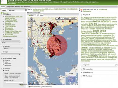
Riff
Collaboratively visualize and analyze streams of data
 |
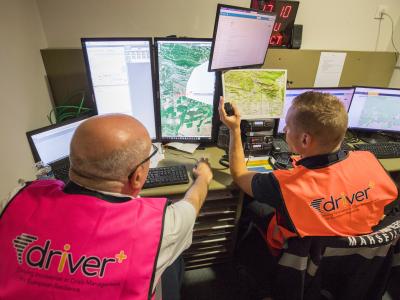
Portfolio of Solutions web site has been initially developed in the scope of DRIVER+ project. Today, the service is managed by AIT Austrian Institute of Technology GmbH., for the benefit of the European Management. PoS is endorsed and supported by the Disaster Competence Network Austria (DCNA) as well as by the STAMINA and TeamAware H2020 projects. |