Contact
Provider(s):
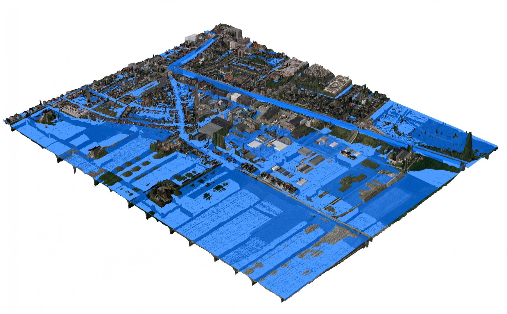
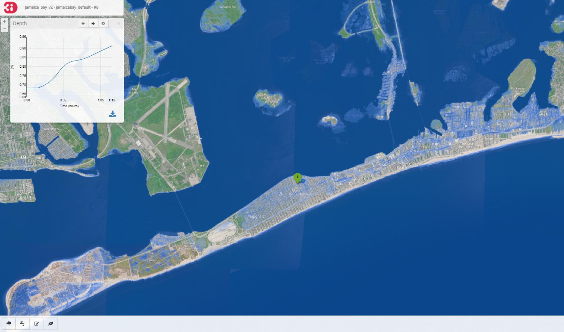
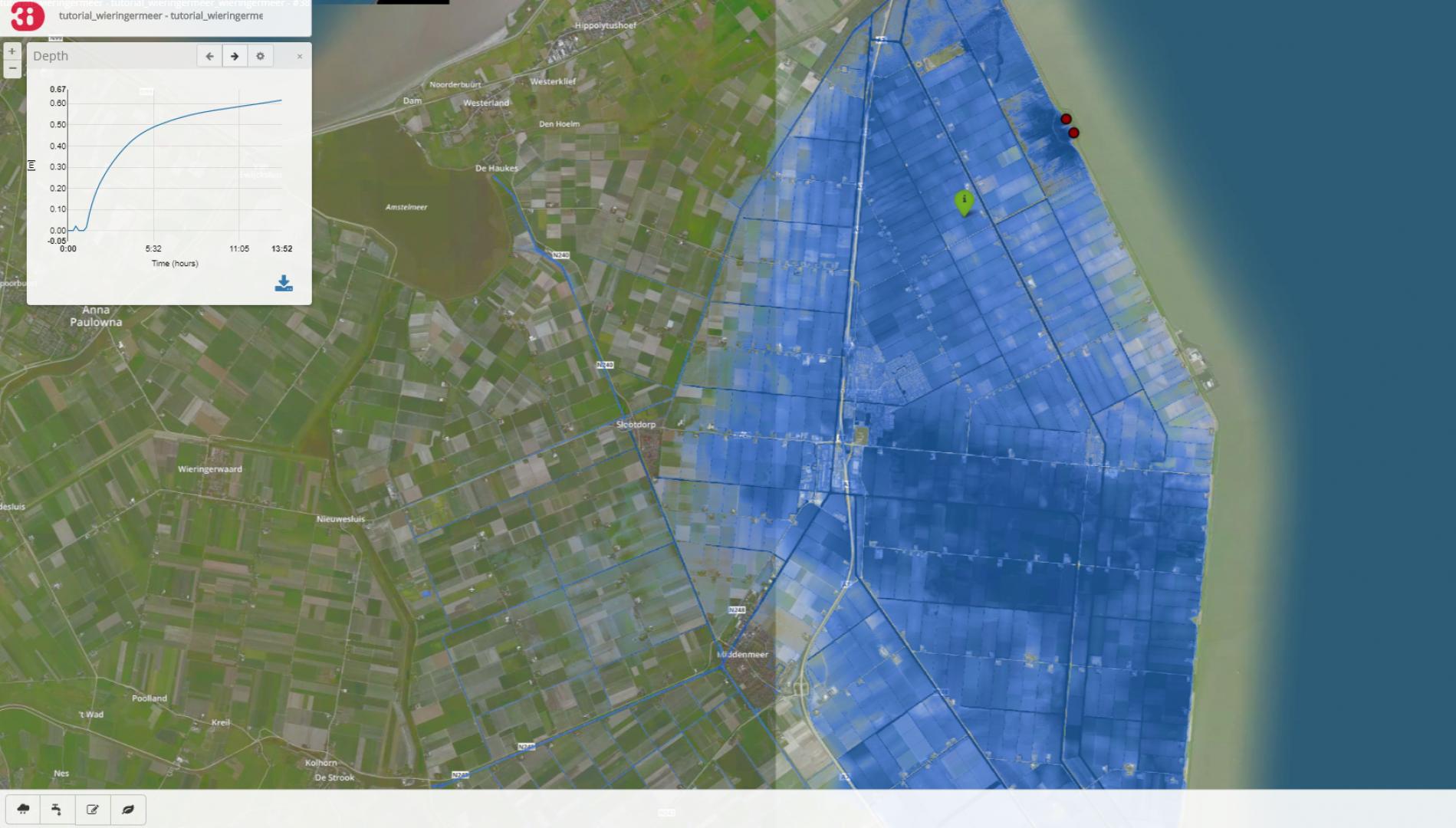
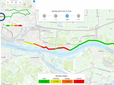
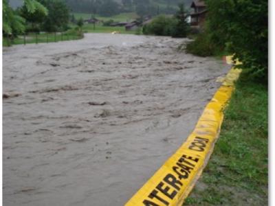
3Di models are fast, accurate and visual. 3Di results present flooding locations, water depths, arrival times and damages in high detail. Moreover, flood measures can be modelled for their effectiveness. Experts and decision-makers can interact with the model to simulate dike breaches, rain events and storm surges.
The fact that users can create different 's in combination with measures makes it the go-to instrument for hydrology experts, managers and policy makers working for water authorities and cities around the world.
Supported Use Cases
Life flood modeling during crisis situation

UC-01 Compute water flow
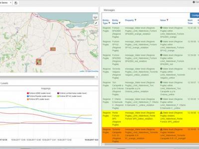
UC-02 Interact with the simulation
UC-03 Export model results for offline analysis
References
3Di trialed in Poland, DRIVER+ Trial Poland
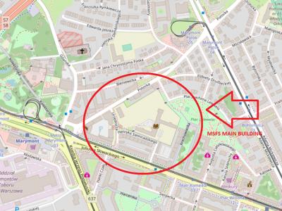
In DRIVER+ 1, the 3Di instrument was tested as a to improve both the COP and the situational awareness in flood simulations. To test the added value in 1 two teams had the assignment to make a priority list for the evacuation of designated buildings in the area, following a of a toxic flood originating from a breach in a storage of toxic mud located at Zegrzynski lake.
3Di trialed in Poland, DRIVER+ Trial The Netherlands
The Netherlands With the objective of involving organisations and actors from all layers of the management cycle, the DRIVER+ consortium designed a fictional in which the lock of Scheveningen breaks down due to bad weather conditions combined with technical failure, threatening a large portion of the city’s inhabitants and critical infrastructures. “Of course, the we designed is more than unlikely to occur in reality, but this allowed us to maximise the use of the selected innovative solutions and involve as many organisations as possible in the “ said Régis CE Flohr, Trial Director. As a flood of this magnitude cannot be handled by the Safety Region Haagland alone, Trial - The Netherlands involved many entities and organisations including the police, fire service, medical services, municipality, military, the water authority and electricity company, public transport as well as international organisations such as EUROPOL, EUROJUST and the International Court of Justice. The scenario was subdivided into two distinct phases (threat and impact) during which crisis managers had to optimise the use of the five selected innovative solutions at their disposal (3Di, ZKIKeepOperational, CrisisSuite, SIM-Cl, HumLogSIM). The threat phase was about planning and predicting the flood as well as the related cascading effects (evacuation planning, protection of critical infrastructures).
Documentation
Similar Solutions

 |
Portfolio of Solutions web site has been initially developed in the scope of DRIVER+ project. Today, the service is managed by AIT Austrian Institute of Technology GmbH., for the benefit of the European Management. PoS is endorsed and supported by the Disaster Competence Network Austria (DCNA) as well as by the STAMINA and TeamAware H2020 projects. |